Rondônia (how I fell in love with a line)
-
Dates2022 - Ongoing
-
Author
- Locations State of Rondônia, Paris, Rio de Janeiro, Cacoal, Bom Futuro
-
Recognition
This project brings together large-format analog photography and military archives to explore how Amazonian territories have been folded into the material history of the West.
Developed across both the Amazon region and museums in Europe and Brazil, it delves into the intricate relations between power, knowledge and representation.
Situated in northwestern Brazil, Rondônia is named after Marshal Rondon, a military officer celebrated for his explorations of the Amazon basin.
In the early 20th century, Rondon was commissioned to construct a telegraph line in the Amazon as part of Brazil's push for modernization, aiming to integrate its western territories, and establish connections with indigenous communities.
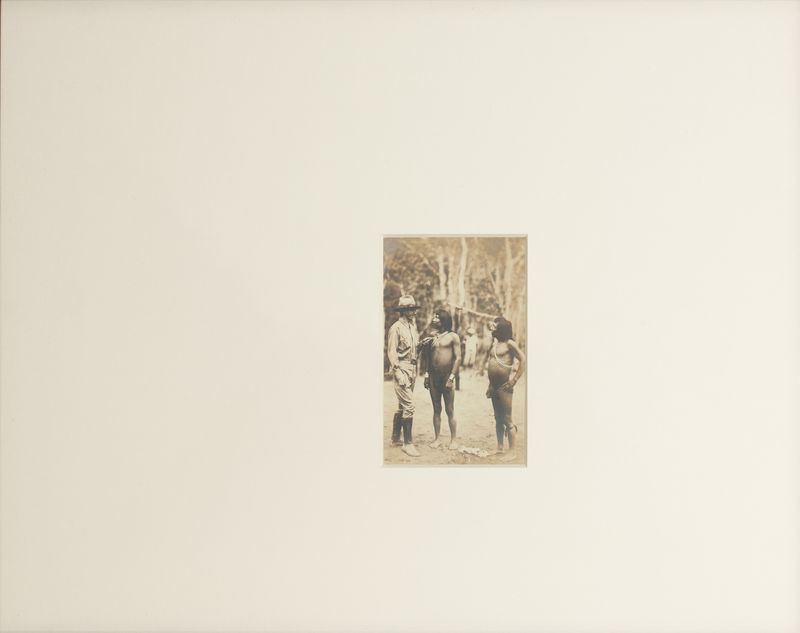
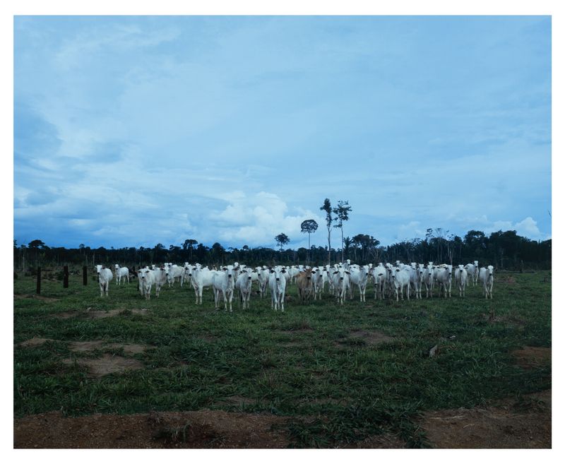
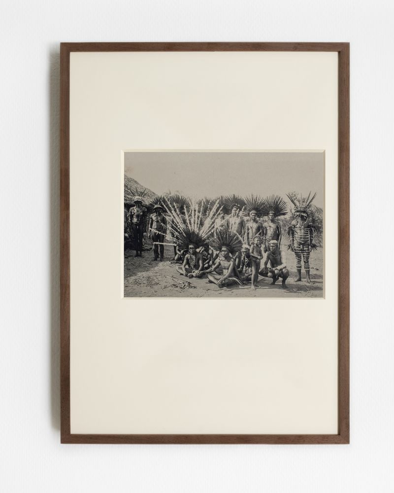
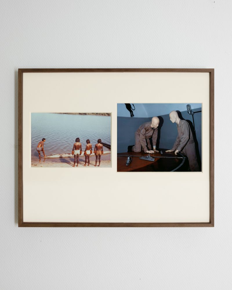
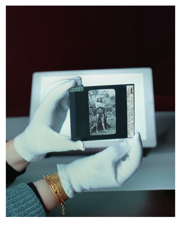
Accompanied by scientific teams and a photographic unit, these military and ethnographic missions undertook a comprehensive "inventory" of the Amazon basin, assessing their potential for colonization, agriculture, and livestock farming. Over nearly two decades, they produced thousands of documents—photographs, topographic surveys, and ethnographic records—detailing how linear and rational structures were introduced into the Amazon, profoundly transforming its physical and cultural landscape.
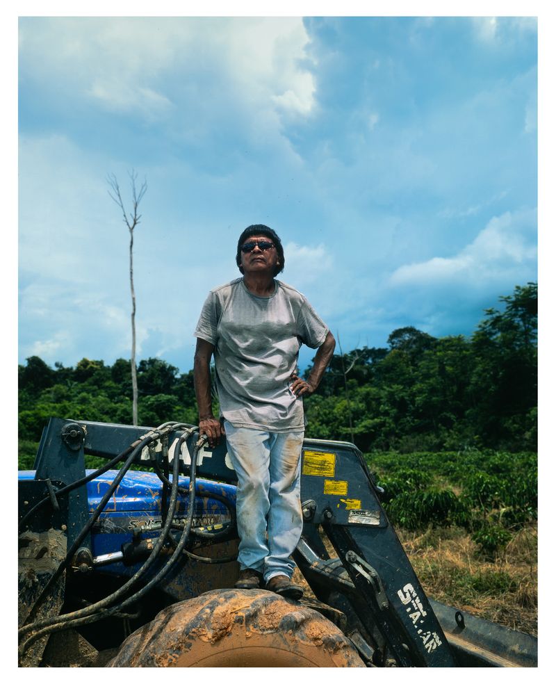
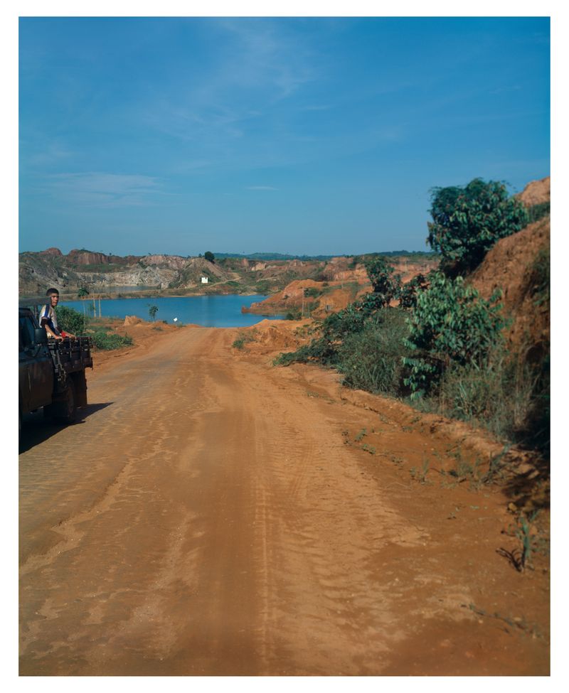
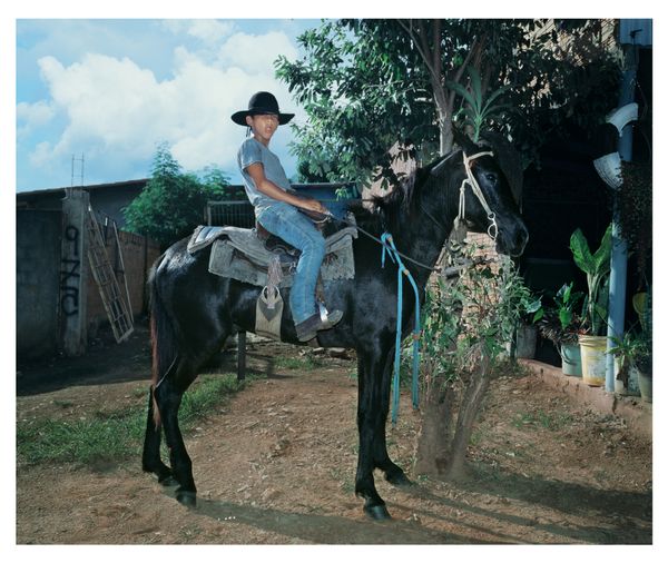
Even after its dismantling, the telegraph line infrastructure served as the backbone of the region's colonization. In the 1970s, under the dictatorship, the Brazilian government built the Transamazonian Highway, BR-364, closely tracing the route of Rondon's telegraph line.
For me, these lines—first telegraphic, then road-based—form an active palimpsest, unveiling layers of territorial occupation. To explore these layers, my work combines two approaches:
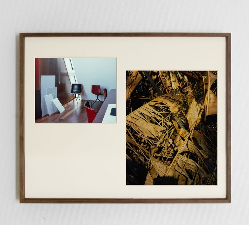
In the archives of the Rondon Commission, I analyze and document how these records constructed a utilitarian representation of the Amazonian territories—portraying them as spaces to be measured, organized, and ultimately exploited.
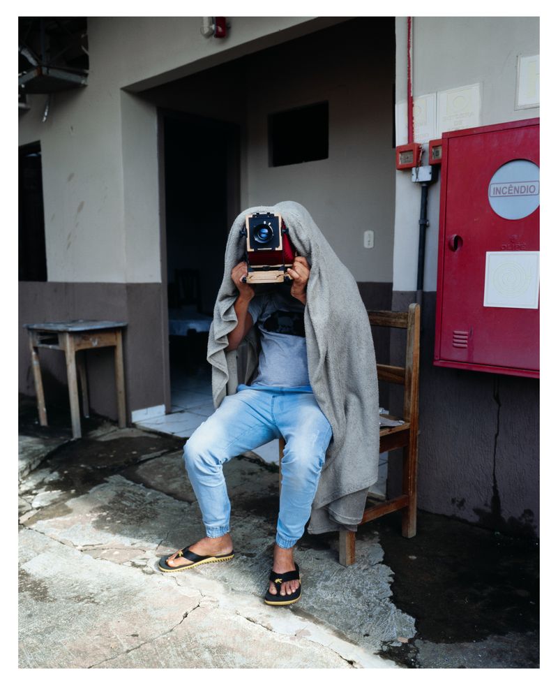
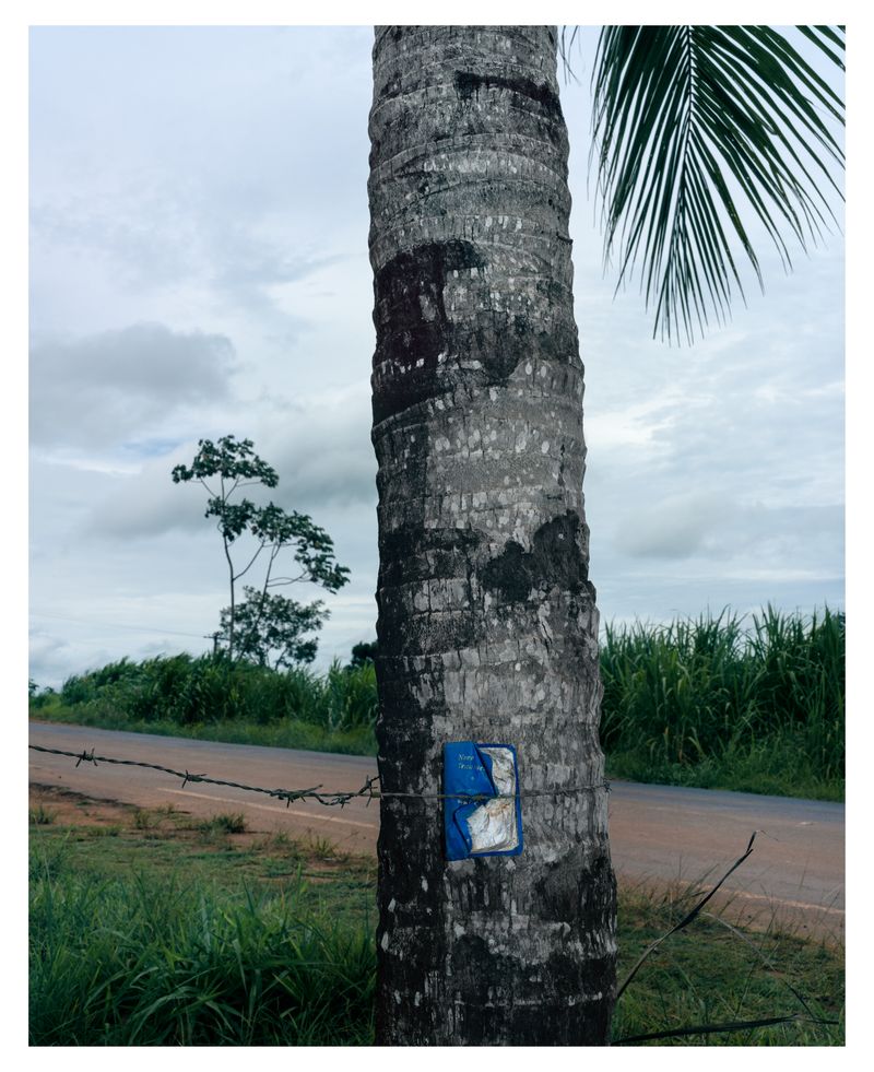
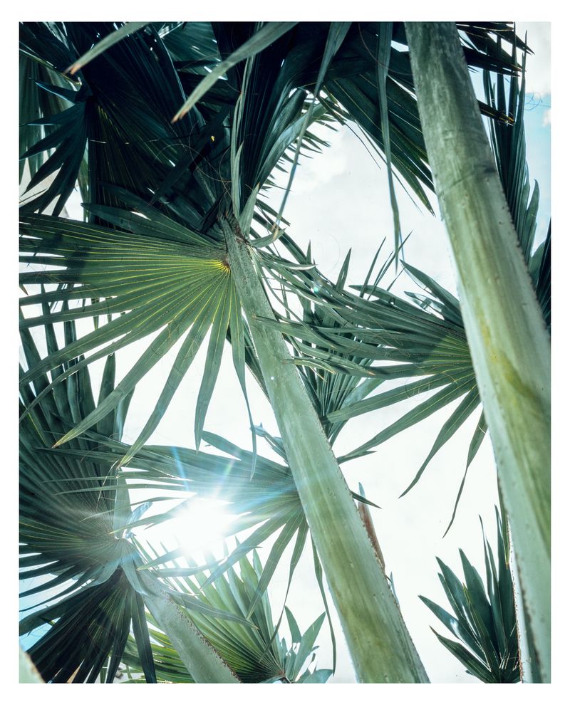
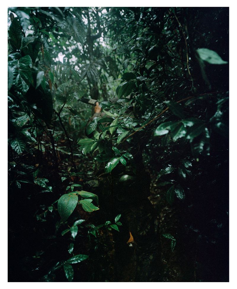
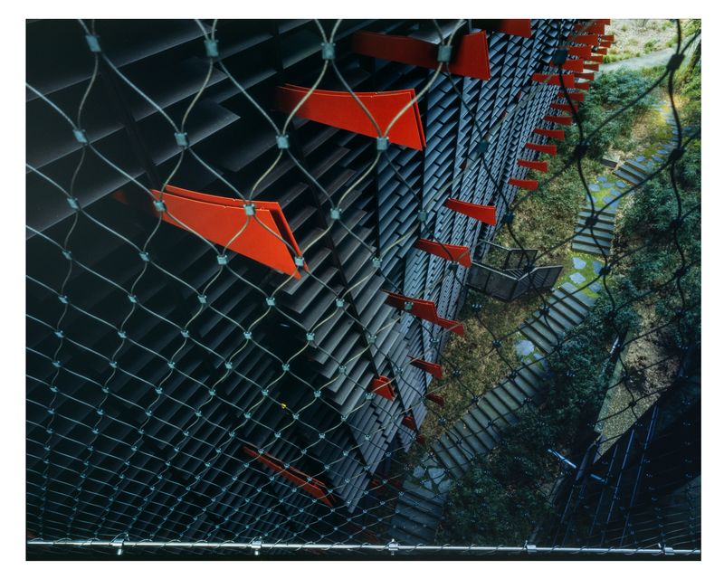
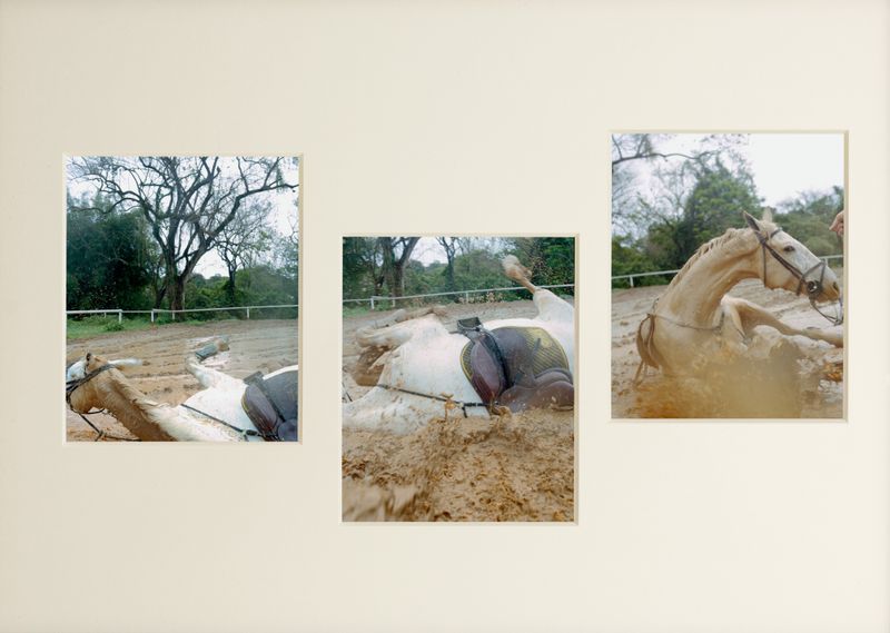
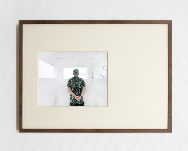
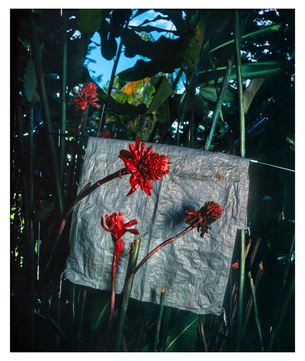
Along the BR-364, I create images that explore the "hors champ" of Rondon's documentation, questioning how contemporary photography can engage critically and challenge hegemonic modes of representing Amazonian realities.
My approach is grounded in a philosophy of openness, allowing my visual inquiry to unfold organically and without constraint. Similar to Beckett, one digression leads to another, giving the feeling that it could go on indefinitely.
This creates a visual form of 'an-archy,' disrupting hierarchies between the center and the margins of the investigation, and challenging the linearity of time and progress. By linking seemingly unrelated events, blending facts, hypotheses, and exploratory paths—even the author's stream of consciousness—my 'an-archic' approach challenges the reduction of space, time, and life into easily graspable or fixed concepts.
In a colonial continuum, the photographic images produced during these military-scientific missions served to 'thingify' the land, transforming it into a passive object of analysis, exploitation, and control within a Western framework. By imposing clear boundaries and rational classifications, this system organized territories and lives according to a logic of commodification.
Drawing on what Édouard Glissant calls an ethics of opacity, I aim to create spaces of indeterminacy that resist the coercive power of fixed historical and social narratives.
For Glissant, embracing opacity means rejecting the notion of universal truths. In my approach, preserving areas of ambiguity becomes a radical counterpoint to the ideology of clarification and discipline, imposed by the relentless drive of ‘order and progress’.