The Decade Volcanoes

-
Dates2020 - Ongoing
-
Author
- Location United States
I'm currently photographing and researching a long-term project on the Decade Volcanoes—the 16 most hazardous on the planet due to their volatility and proximity to large populations. As our earth rapidly warms due to climate change, another consequence of this is that scientists anticipate more volcanic eruptions.
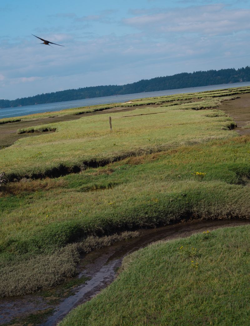
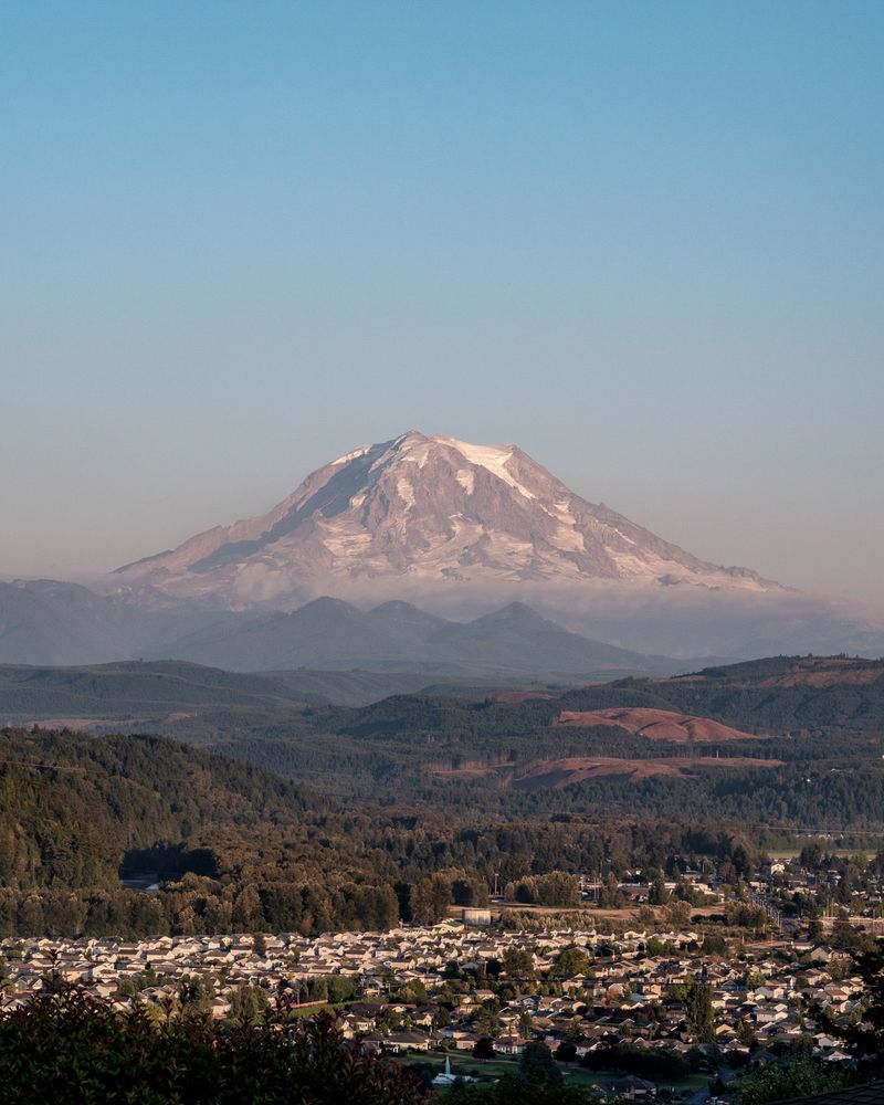
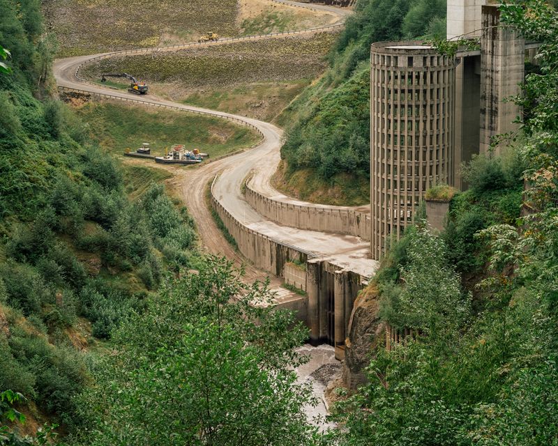
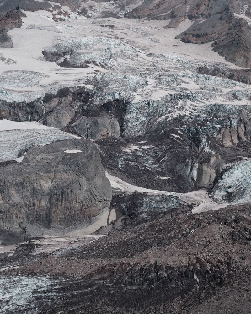
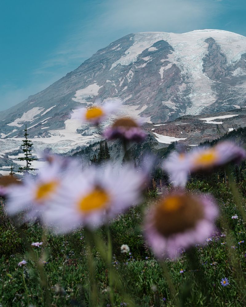
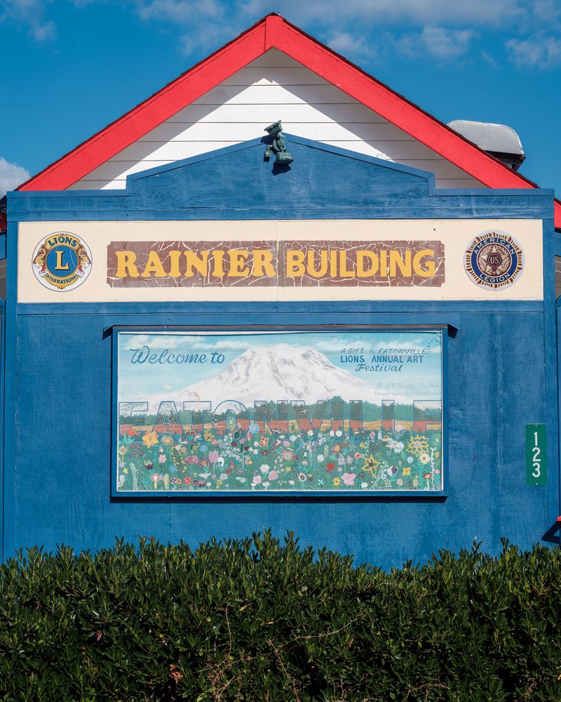
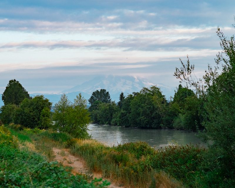
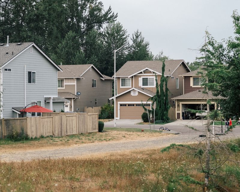
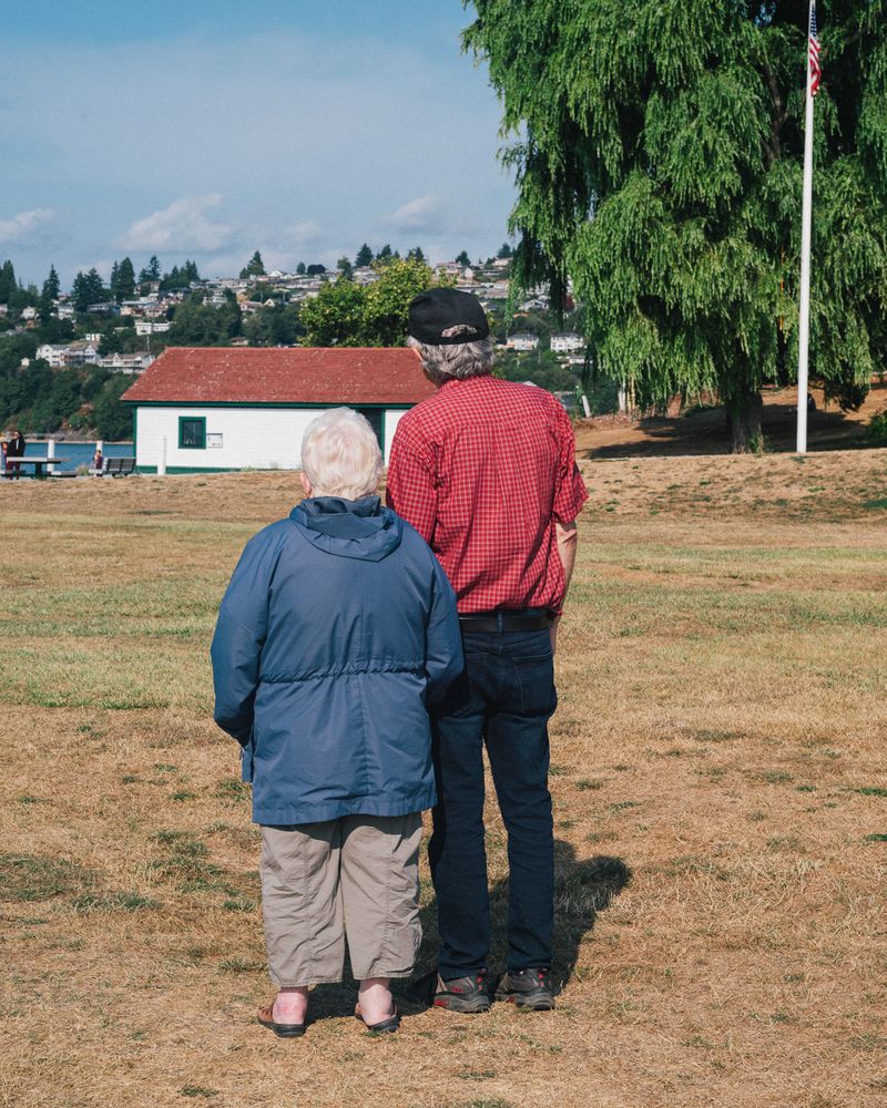
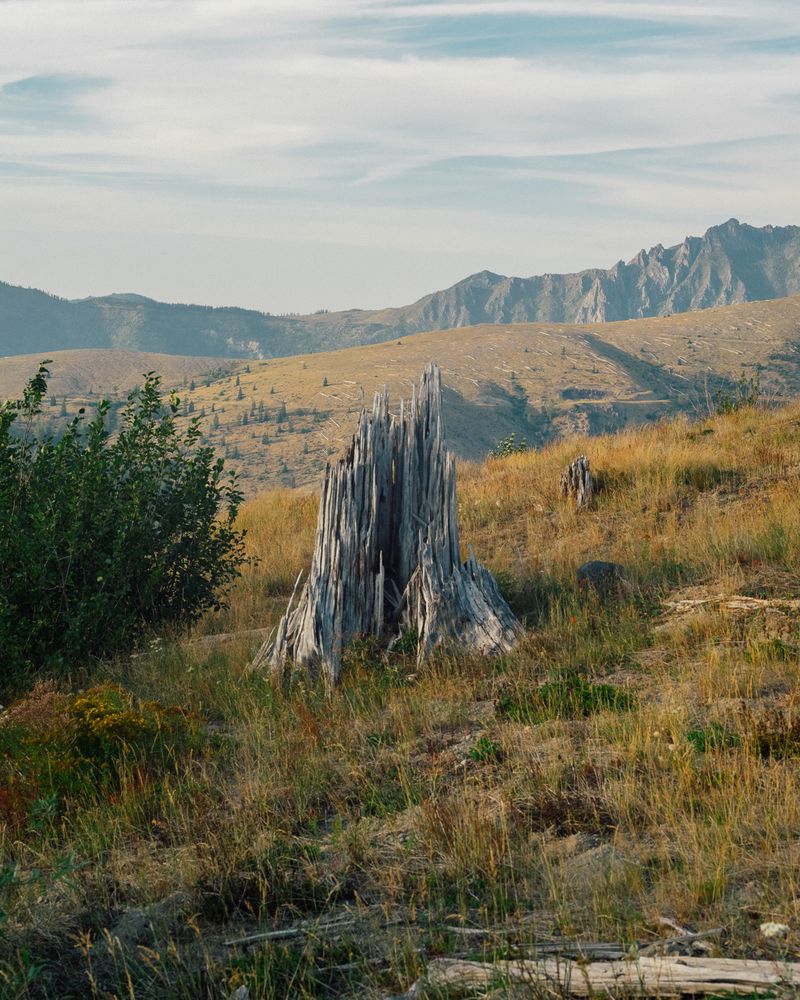
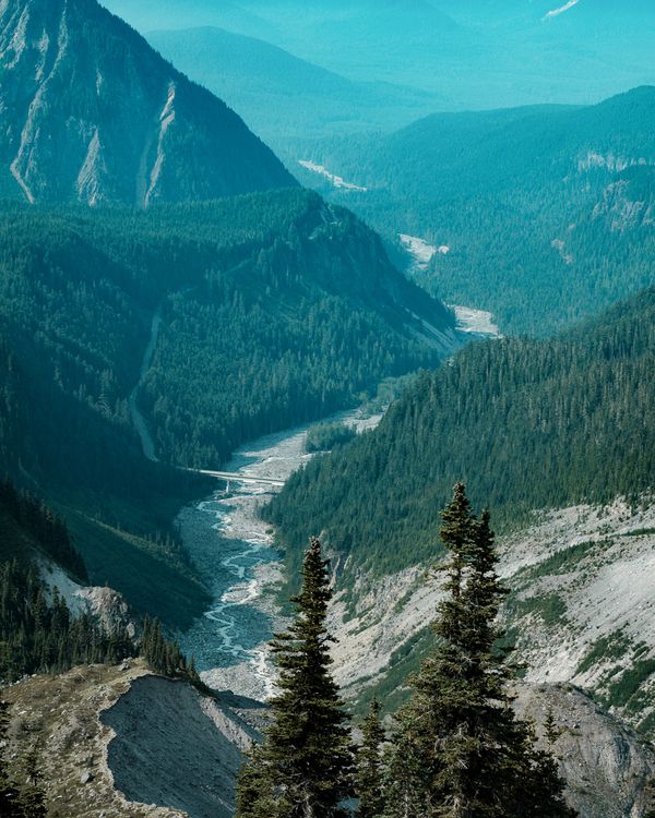
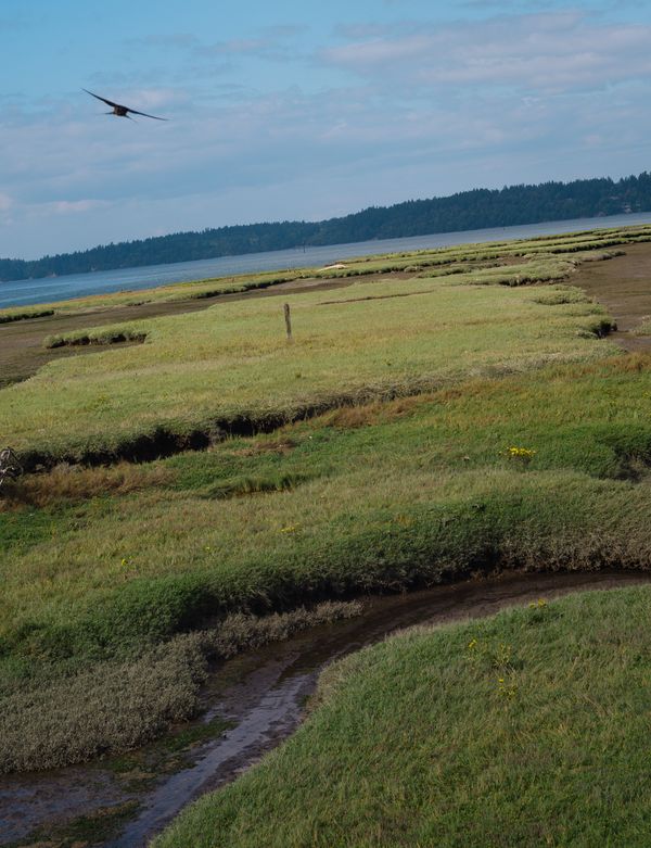
The images included were created at Mt. Rainier and its gateway towns. Although Rainier has not seen a significant eruption in over 500 years, a future one has the potential to be amongst the worst natural disasters in the United States. The towns beneath the stratovolcano would be immediately destroyed by lahars— violent slurries of mud created from instantly melted glaciers mixed with sediment. Typically lahars flow down the slopes of a volcano and travel through river valleys.
In a world that's rapidly shifting due to climate-induced catastrophes, this project seeks to document the regions and cultures that might be severely affected by a Decade Volcano's eruption. Mount Nyiragongo, a Decade Volcano in the Democratic Republic of the Congo, erupted last May and left thousands of residents of Goma displaced and struggling to find food and shelter. Archaeologists believe that cities from the Late Bronze Age collapsed due to climate change. Will some of today's cities suffer the same fate?