a cartographer's perception
-
Dates2023 - Ongoing
-
Author
- Location Australia
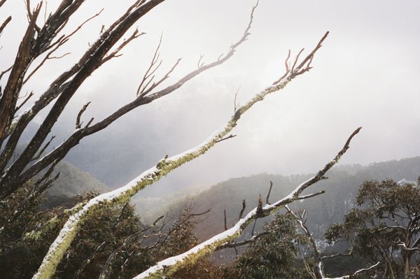
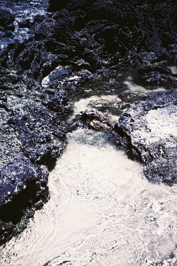
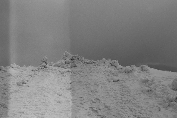
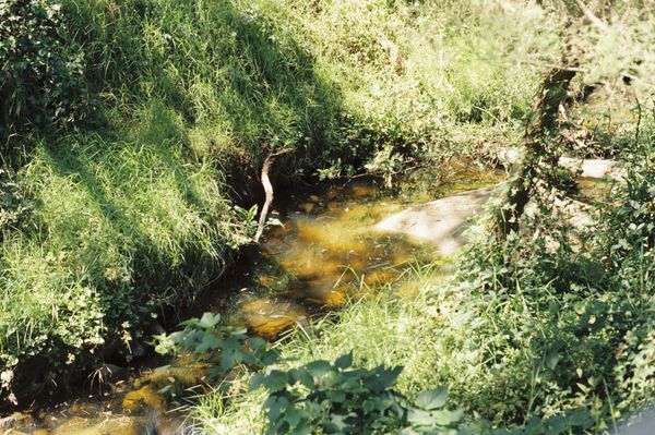
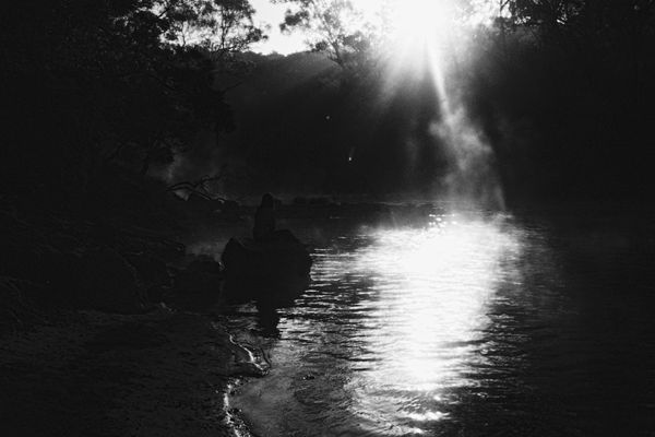
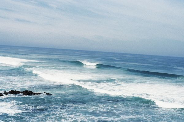
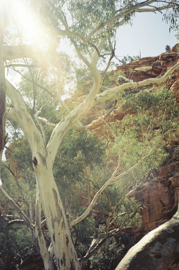
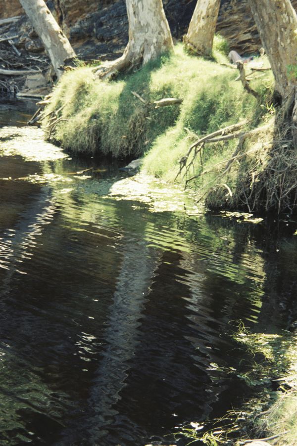
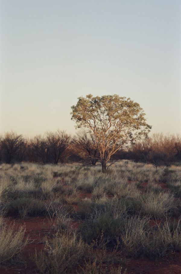
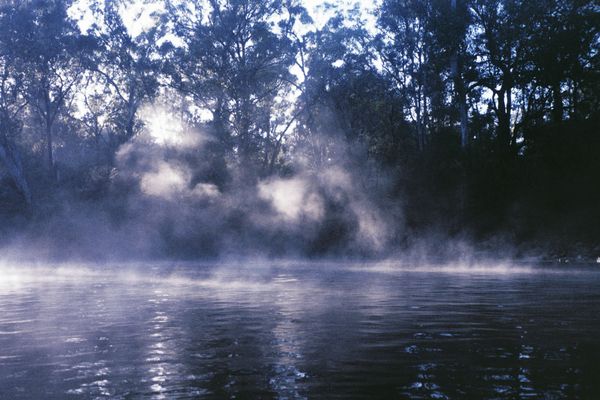
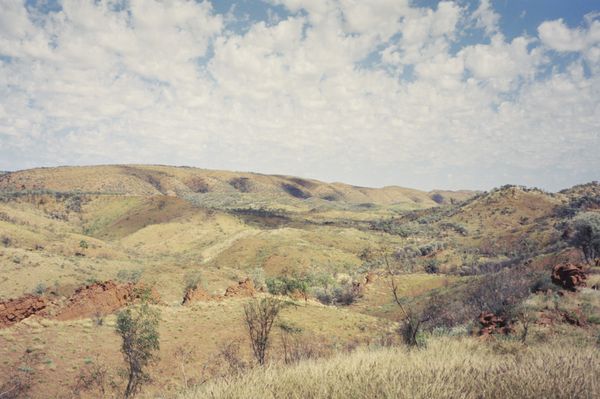
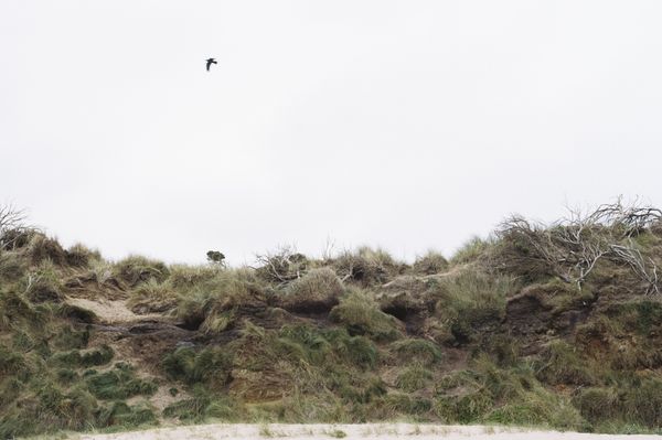
Disabled bodies find borders everywhere. Within physical, emotional, and bureaucratic boundaries, I explored my return to the natural world after forced severance. A process mediated by mobility, I now hold an ever-shifting map of this continuing journey.
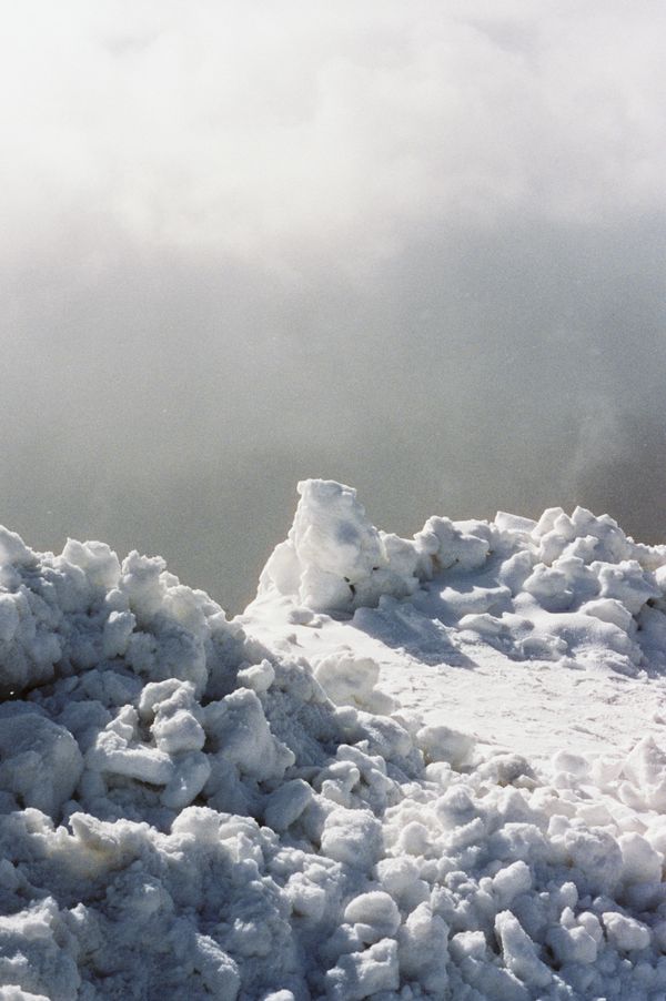
A cartographer creates a map through technical and subjective understandings, building story through mathematics, narrative through spatial data. But how do we build this map, when our perception to the world around us is severed? When pain is our baseline and these senses are clouded with an internal fight, how do we remain connected to Country? The natural world becomes something distant. Dirt beneath our toes can barely be registered when pain is altering our ability to breathe, stand, hear, talk, exist.
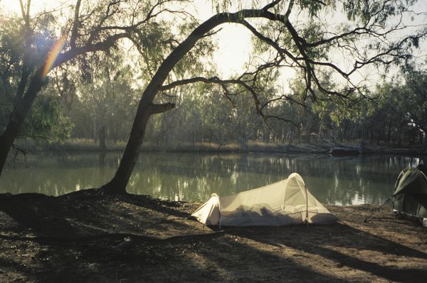
Five years ago I developed mobility issues, seemingly from nowhere. Walking over 100 metres became an impossible task, and venturing into the world morphed into something to be feared. Some two years later, after countless doctors left me answerless, pockets weighed down by temporary medications and referrals, a naturopath finally handed me the first building block of my repair. It was a slow process. As I returned to the natural world around me, I began to explore photography mediated by mobility.
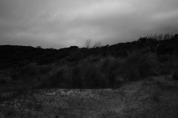
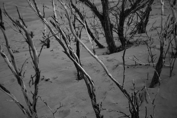
Some days I could walk for a kilometre but be in terrible pain, tunnel vision focus on the destination. On others, I could meander for hours, exploring every feather, bark, and critter who crossed my path. Where my attention went and when I pressed the shutter changed dramatically based on where this pain was in my own body, and their intensity. I discovered I was surrounded by borders. Some were tangible, physical; I could reach out and touch them and follow where they rerouted me. Others were bureaucratic or emotional, but their consequences were just as real. Disabled people are constantly experiencing a movement of these boundaries, and are left to navigate changed lands in new bodies, with new communities, distanced from one another and, sometimes, ourselves.
My walks became a ritual. A reminder. A celebration. A moment to grieve. They became an opportunity for deep presence; to be in temporary pain or temporary joy. At the end of three long years, I realised I held an ever-shifting map of my healing journey - one that continues to be expanded upon.
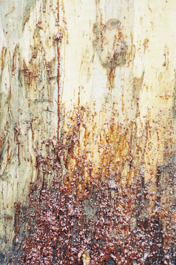
This map holds no key. There is no game of right or wrong. Its stories are yours now. Every time it is exhibited, shown, or swiped through, its order changes. I ask you to look at it, at each individual image and the wider Lines and Lineages and Stories they create. I ask you to find your own messages of hope, joy, survival, pain, connection, and isolation in them. I ask you to look to the stars and give thanks for their ever-watchful eye. I ask you to be grateful for, and to, the land, waterways, and skies you traverse and commune with daily; I ask you to choose gratitude before you feel loss.
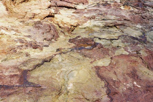
A cartographer’s perception was photographed on Wurundjeri-willam, Gadubanud, Anangu, Aranda, Gunaikurnai, Bunurong and Boonwurring, and Taungurung Countries. I acknowledge the Traditional Custodians of the Countries on which these photographs were taken, their past, present, and enduring knowledge and practices alluded to in this series, and pay my respect to Elders past and present. I acknowledge the unfathomable pain which has been, and continues to be, felt by all First Nations peoples who have experienced forced severance from their own Country. I acknowledge that sovereignty was never ceded.