One Flight and 184 Centimeters of Territory


-
Dates2026 - Ongoing
-
Author
- Topics Landscape
- Location Spain
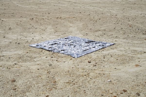
This work inverts the logic of aerial cartography. By enlarging military surveillance photographs to 1:1 scale, the images become useless as representations, yet recover what cannot be contained: the territory's material presence and memory.
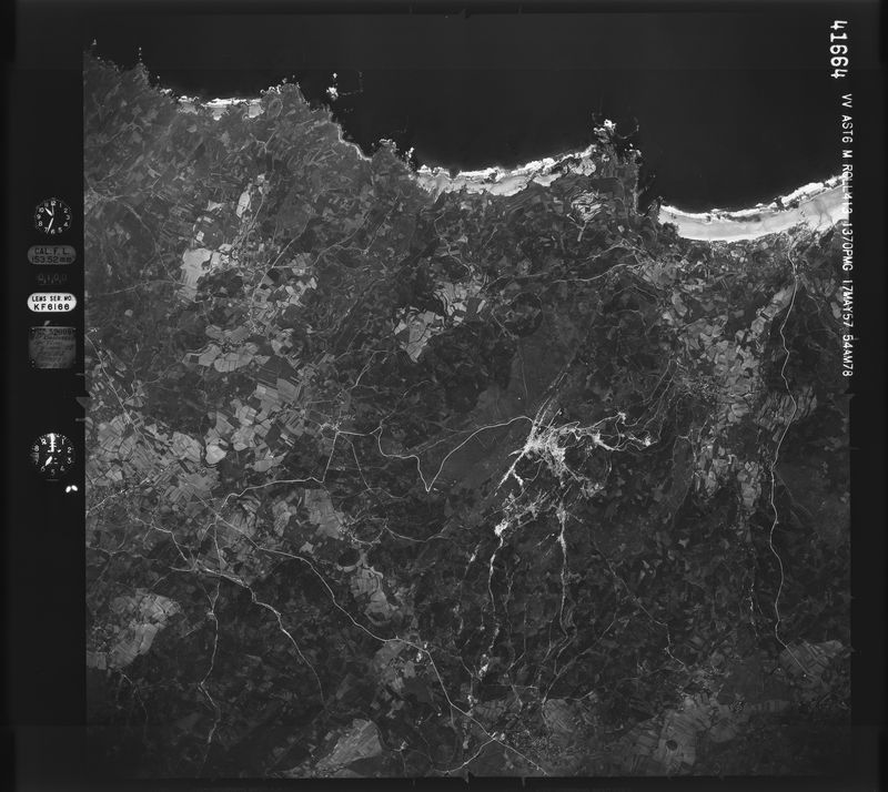
Following the Second World War, the United States Army conducted the first systematic aerial reconnaissance of the Iberian peninsula. Between 1956 and 1957, over 60,000 negatives were recorded for military and cartographic purposes.
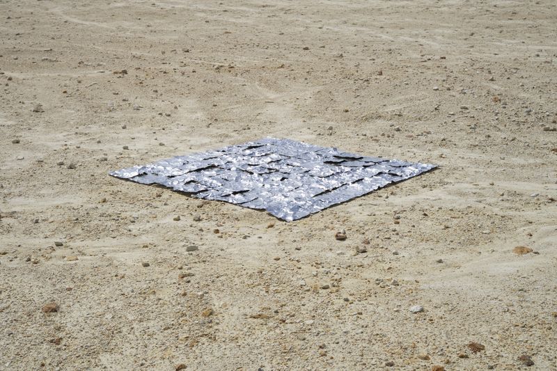
Any representation of territory functions because it reduces. The represented becomes manageable, comfortable. It can be archived, measured, decided upon. It is this reduction that makes it possible to manage a territory without being in it. If that reduction is eliminated, the representation ceases to function. Using a 1:1 scale, the images from the American flight become empty, cease to show anything. Each centimeter of image equals one centimeter of territory, and at this scale, the selected ortho-photo fragment is represented by merely four grey pixels from the original image.
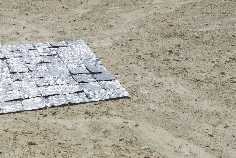
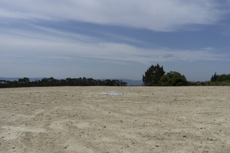
The 64 panels that make up the work correspond to 184 cm of the territory of Monte Neme, once one of the largest tin and tungsten mines. Each panel returns to the exact point it represents to be marked directly against the ground, which leaves its trace. Thus, the territory ends up recording what the aerial image could not.