The Land Beyond the River

-
Dates2022 - Ongoing
-
Author
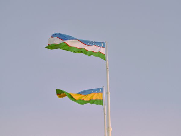
- Location Karakalpakstan, Uzbekistan
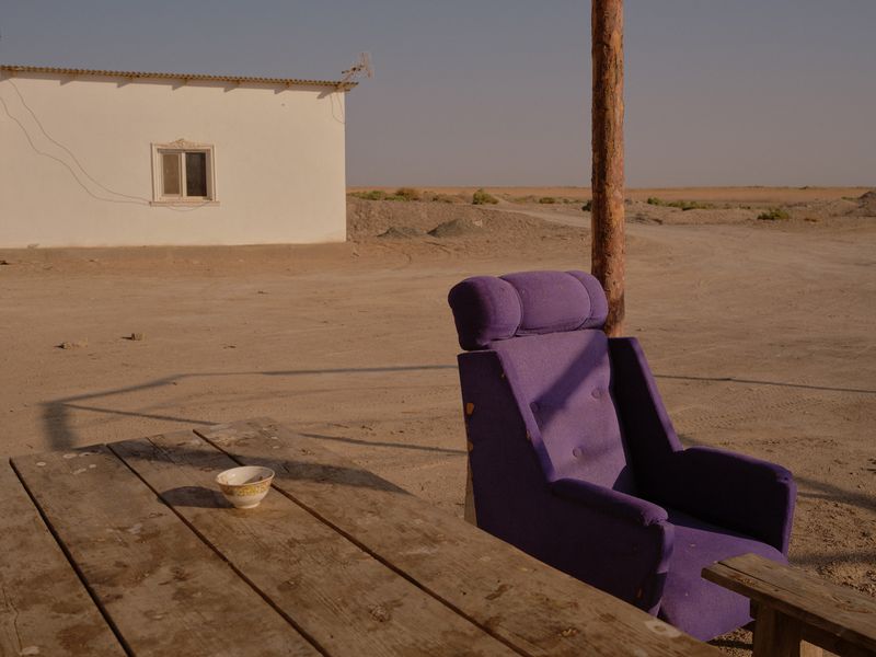
Karakalpakstan is a place defined by its resilience, a society able to adapt to the challenges it faces. Geographically located in Uzbekistan, Central Asia, within the band of deserts north of Iran and Afghanistan – it is an environment of great natural beauty.
Reflecting on a troubling political year, a news item caught my interest, a protest regarding a constitutional change in Karakalpakstan. A territory which throughout the course of history has been governed by several empires, including the Soviet Union – the idea of identity, land and its relationship to people, led me to investigate this land beyond the river. Having left my home in Russia in 2010 to study in the USA, more recently relocating to London, this notion of land, the legacy of empire felt rather pertinent.
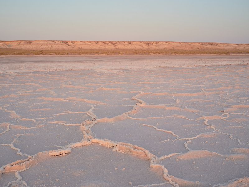
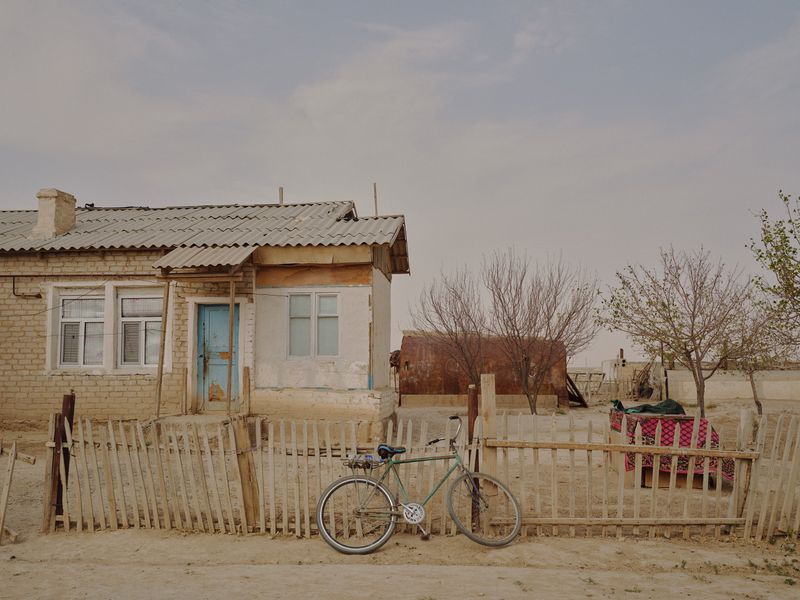
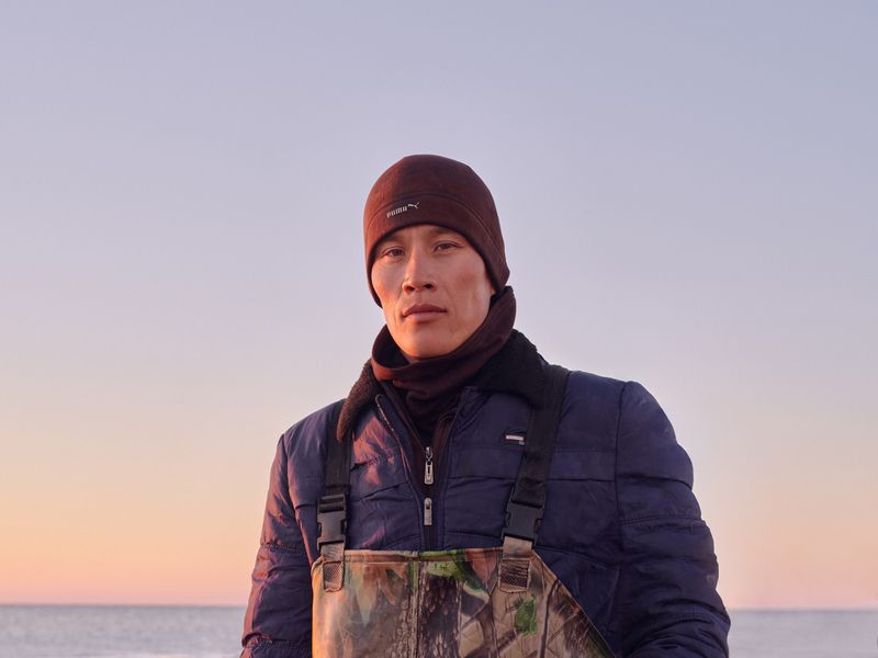
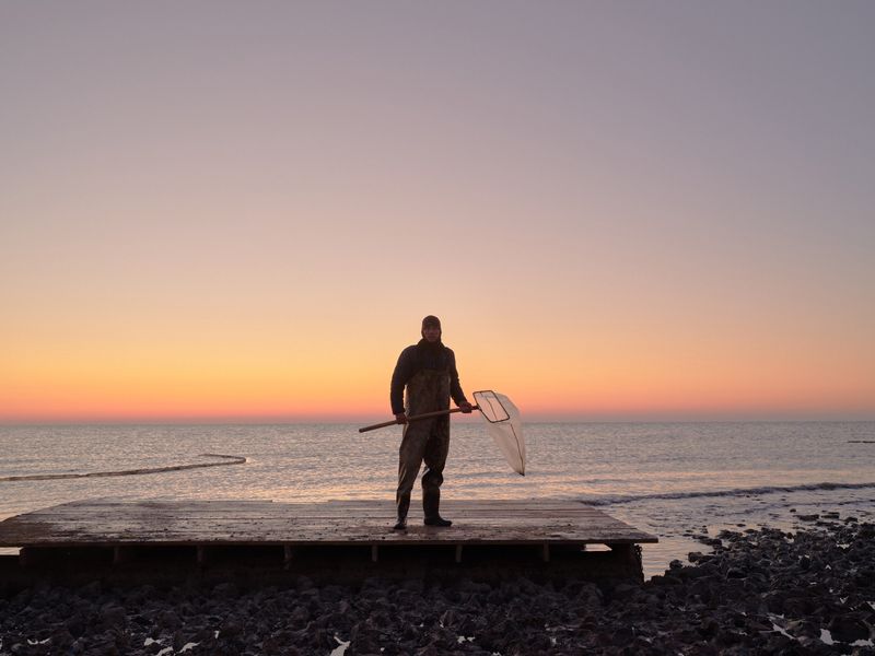
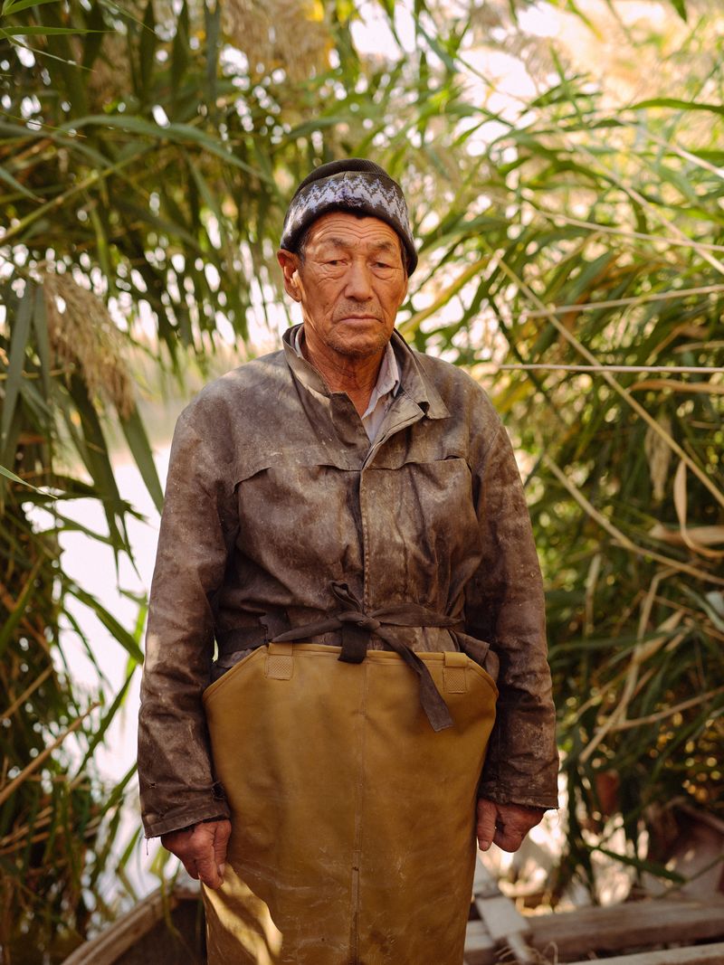
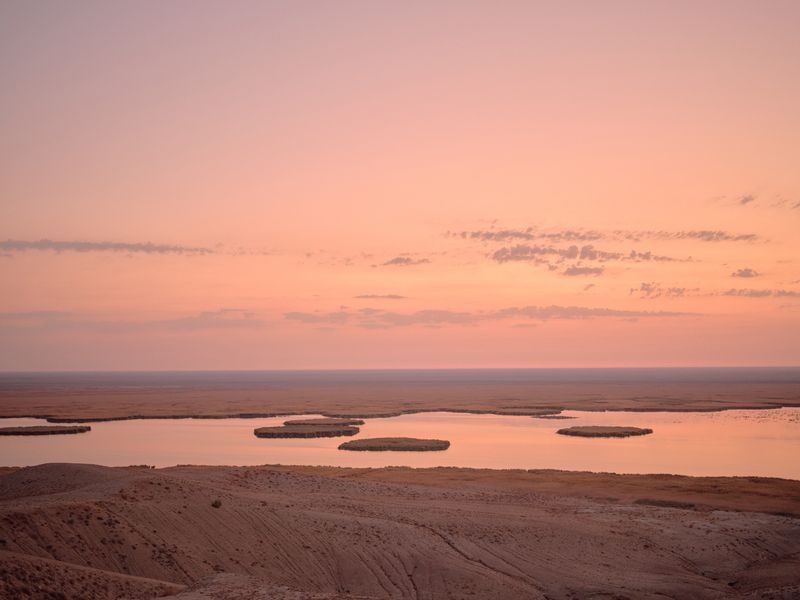
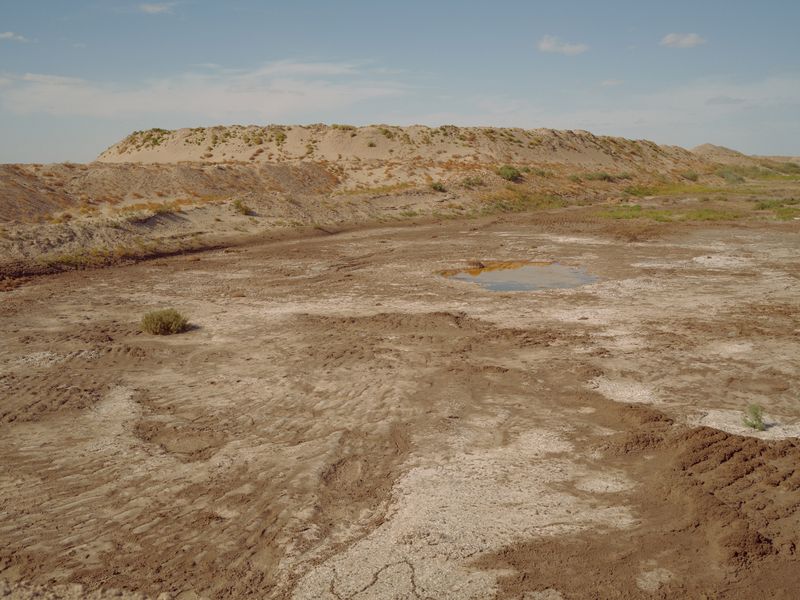
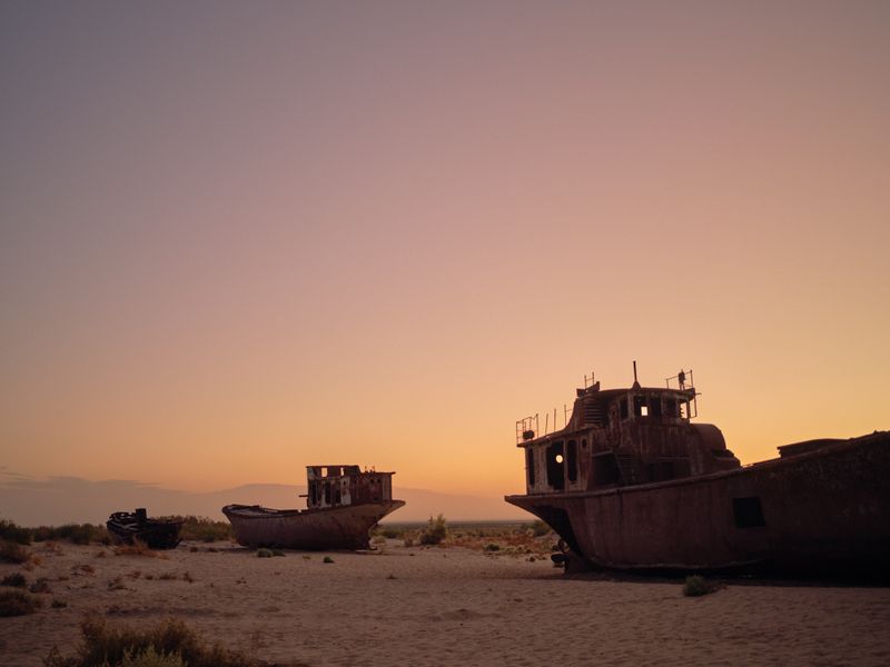
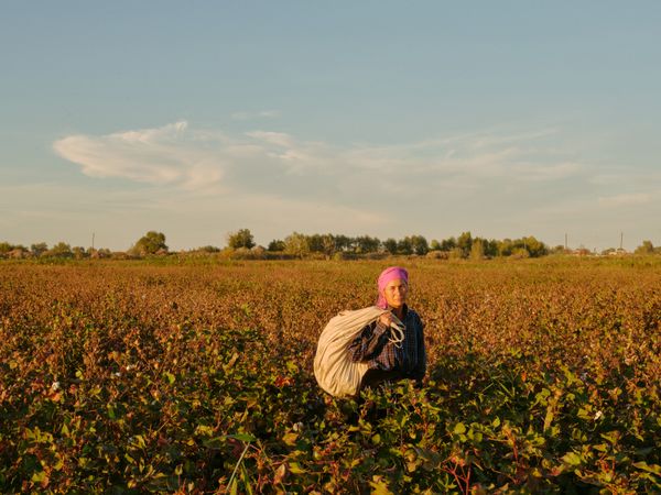
Under Soviet leadership (1925 – 1991) Karakalpakstan transformed into a cotton monoculture, which exhausted most of its water thus becoming the largest desert in Central Asia. The diversion of the Amu Darya River, the region’s main artery, resulted in the shrinking of the Aral Sea from 68,000 sq km to 3,500 sq km. As access to drinking water decreased, fishermen and livestock breeders lost their livelihood and currently, the impact of climate change has made conditions even worse.
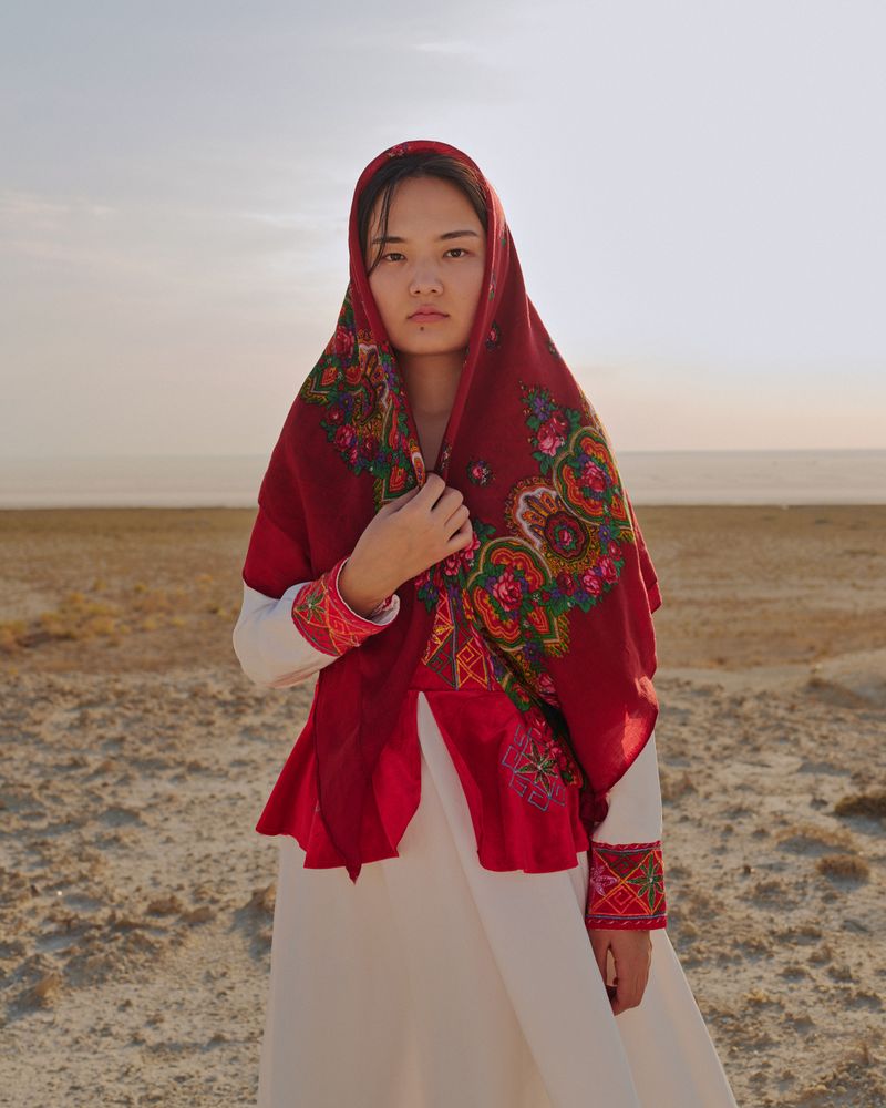
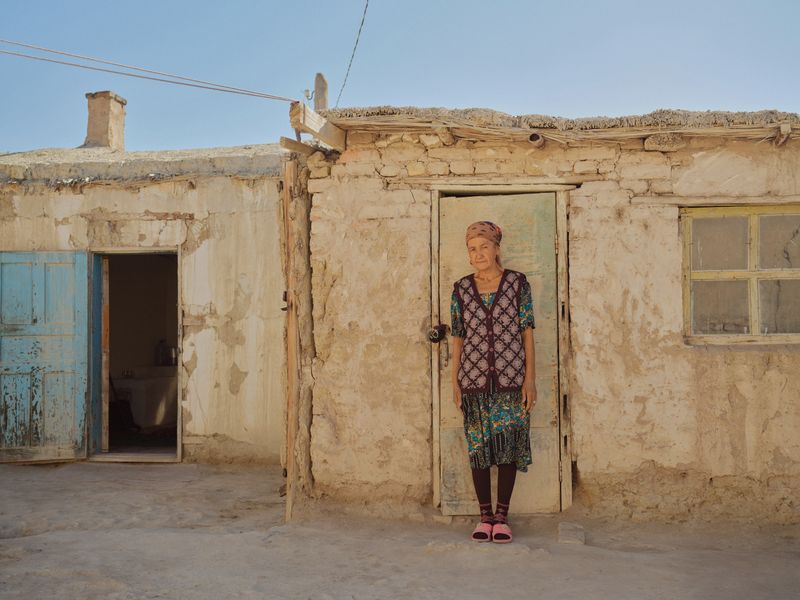
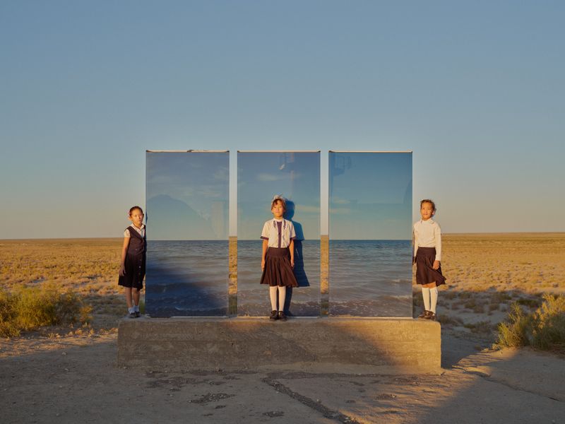
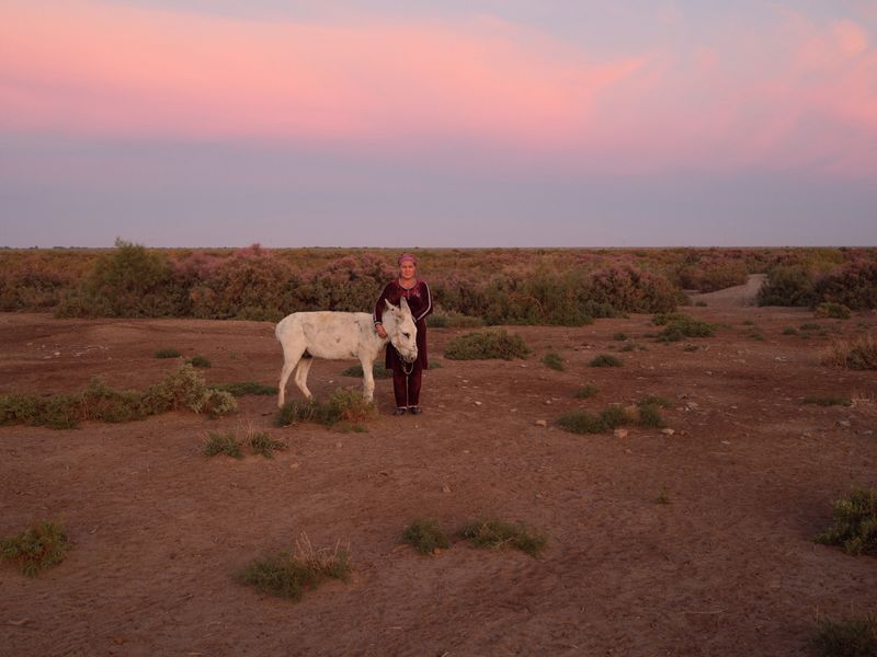
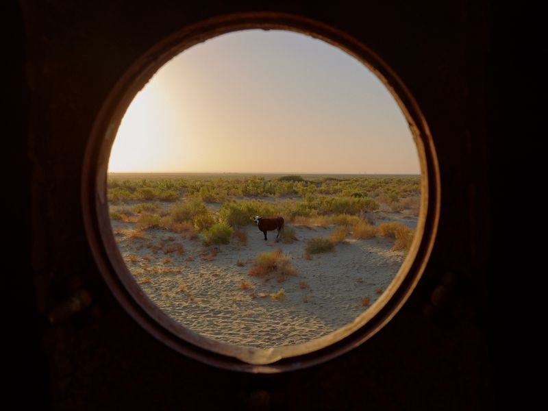
Water represents part of the cultural identity in folk tales and crafts. Historically, formed of nomadic Turkic tribes, largely Muslim today, the Karakalpak people peacefully co-existed with the Orthodox Christians until the 1990s when the region was abandoned by the Soviet authorities.
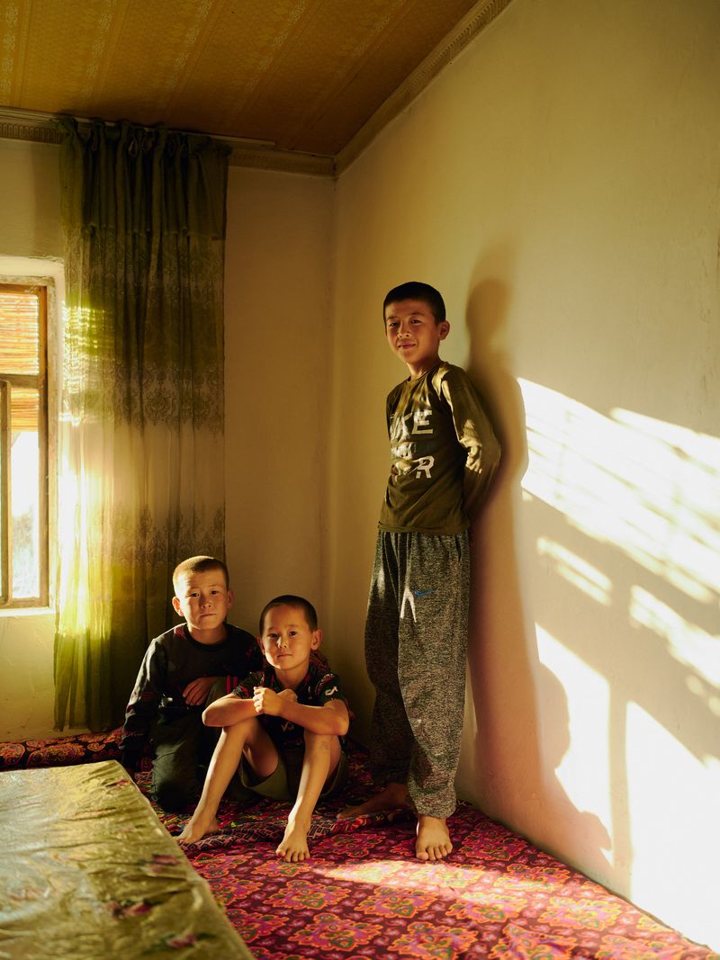
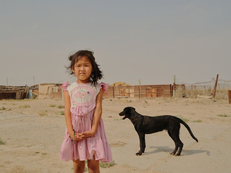
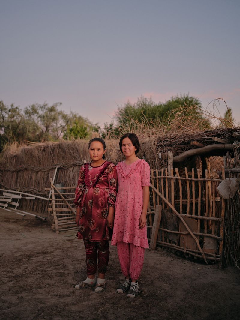
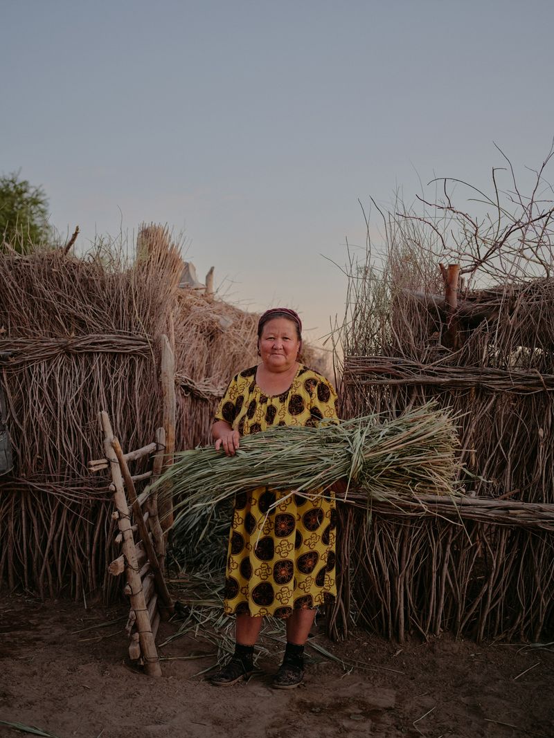
Seeking to document all aspects of society, with invaluable help from my Russian-speaking driver, I spent time with several families. Binding these communities are extended families, three generations of families living together. Women play a central role in the family and in society, this is reflected in their freedom, greater independence and confidence.
The unity of human connection and strength define this region’s very existence and its future. The salt plateaus, rocky canyons, ever-expanding desert of the Aral Sea create an evocative visual metaphor for the life and endurance of the Karakalpak people.